In the example below, I will be labeling major lakes in the United States.
First, I open up Shape2Earth from MapWindow GIS

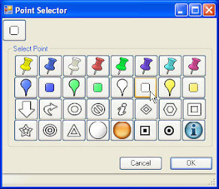
Then, from the Properties tab, I select the points that I want to use for the labels using the Enhanced Point Selector dialog box.
If I want there to be only text, I make the size of the icon zero, and do not add a label rollover. If I want to make it a bit fancier, I can select one point for the label, and another that is displayed when the user rolls over it.

Finally, I can select which attribute field I want to use to label each polygon. I can also select to sort the features so that they will be displayed in alphabetical order.
 A simple result is show below.

These methods can be used to make some rather sophisticated views in Google Earth

No comments:
Post a Comment