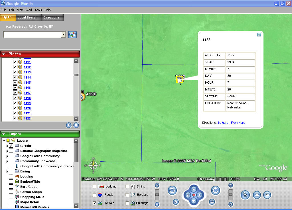
 I decided to let Shape2Earth write GIS attribute data into the KML files for viewing in Google Earth. It actually did not take that long to write the code for this. I am letting the user decide which attributes they want to write, and then extract the data from the shapefile and write them into html for viewing in the description balloon. They also get to select which field will be used for the feature name.
This should keep Shape2Earth more in line with the capability offered by Google Earth's GIS import module. I'll be sending the first Shape2Earth Beta to a number of volunteers within the week.
I would love to be a beta tester!
ReplyDeleteken@stolasgeospatial.com